The Huron Chain of Lakes Watershed
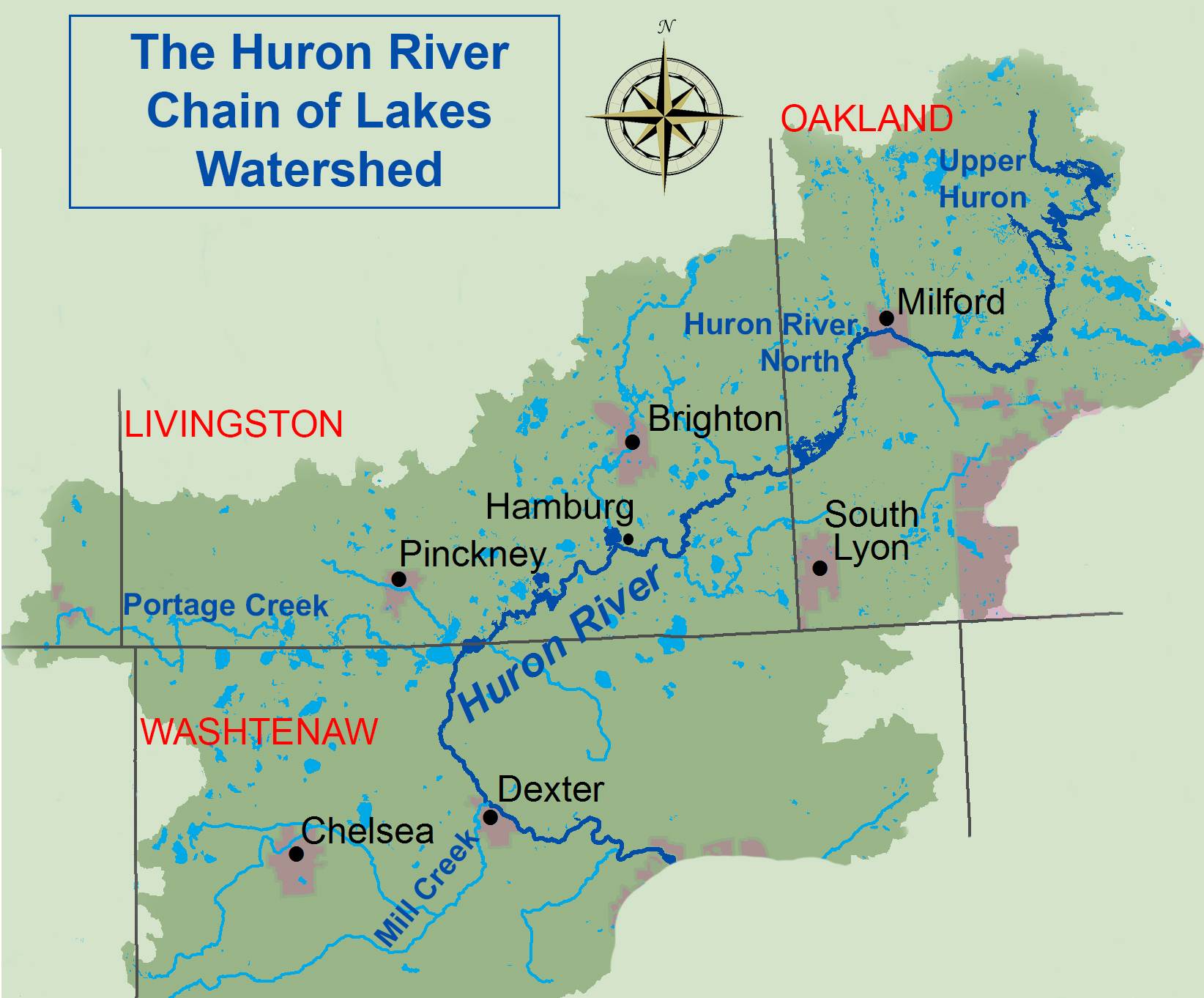
 The Huron River and its watershed are a result of the retreat of the last continental glacier period, the Wisconsonian, over 14,000 years ago. The river was formed by the melting water of the Saginaw and Huron-Erie lobes of the ice sheet. As the glacier went through several advances and retreats, the direction of flow and the outlet changed numerous times.1 The Huron River has followed its present course since the last retreat of the glaciers. The main stem of the river, which is about 136 miles long, originates in Big Lake and the Huron Swamp in north-central Oakland County. The general direction of the river’s flow is southwesterly until it has passed Portage Lake, after which being joined at Dexter by Mill Creek, its largest tributary; it turns sharply toward the southeast and continues on this course until it reaches Lake Erie.2
Beginning at an elevation of 1018 feet in the headwaters and descending 444 feet to an elevation of 572 feet at its confluence with Lake Erie, the Huron River has an average gradient of 2.95 feet per mile. By comparison, the Huron Chain of Lakes section is relatively flat, dropping only 22 feet between the Kent Lake Dam and Flook Dam, for an average of less than 1 foot per mile. 1
The Huron Chain of Lakes Watershed (a sub-watershed of the Huron River Watershed) covers approximately 300 square miles draining an area from just below the Kent Lake Dam on the Oakland County/Livingston County border to two miles below Portage Lake in Washtenaw County. Within this area, the Huron River flows southwest for 27 miles through a series of wetland complexes and large, glacial kettle lakes which includes those in the chain.3 The formation of a kettle occurs when a large block of ice calves off a retreating glacier, is partially or wholly buried by deposited sediment, and then melts to leave behind a mold of itself. When kettles contain water, they’re called kettle lakes.
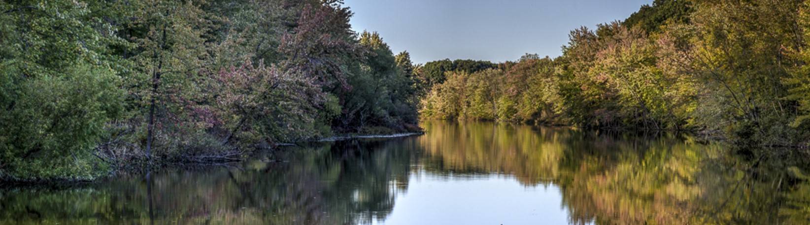
Water from the Huron River sustains man and nature and provides scenic beauty that is priceless. The Huron River is considered to be the cleanest urban river in Michigan. Much of the credit for this status goes to the Huron River Watershed Council and those who saw the need for the river’s protection.3
References
- Hay-Chmielewski et al. Huron River Assessment. Fisheries Division Special Report. State of Michigan Department of Natural Resources. April 1995.
- Hoad WC. A little river of Michigan. 1950
- Huron River Watershed Council http://www.hrwc.org